|
|
|
  |
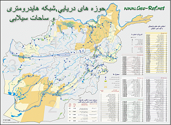
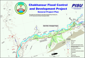
Click on the map to enlarge it!
The value of maps like these is the easy manner to visualize the contents and to generate a better understanding of the technical background. Maps like these are, especially if they are printed on larger formats, a long time presentation of the project or the executing institution, or like in the shown geographical project map of the unit which has generated the map. One of my USAid colleagues has written me last year that our maps are still on representative places used, and this after more than 8 years …
Especially in a media society like ours is the animated virtual reality for huger projects normal, but the most important decisions are still taken on report base, and there these maps can make the difference – giving a visual impression …
Please contact us for prices and conditions for the elaboration of plans and maps like these.
Fast selection
This could be
intersting for you
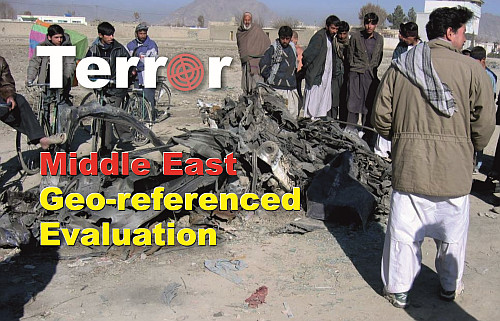
Development of Terrorism
in Middle East
External links change quickly - If you get a link error - Please inform us!

